
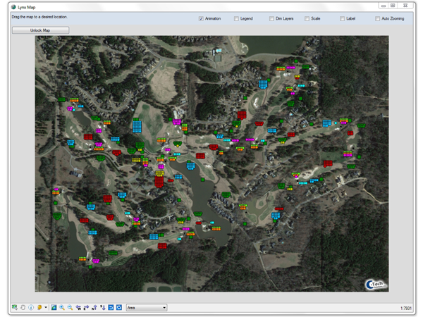
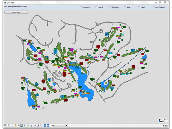
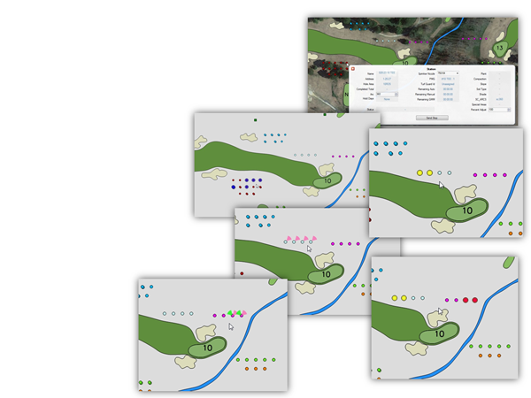
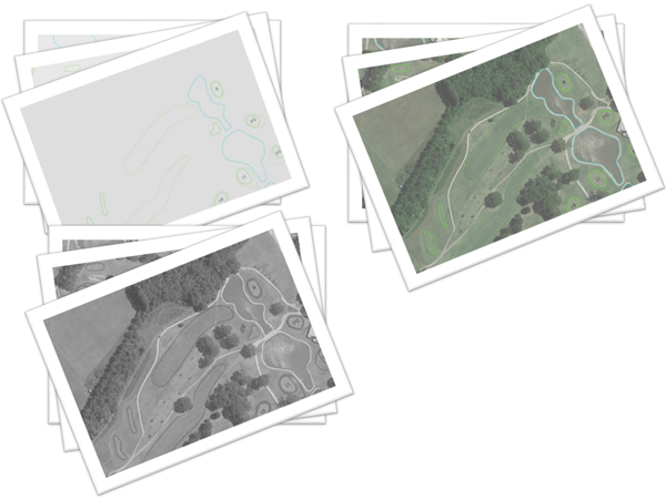
Final Lynx Map Product: Geo-rectified Aerial + Heads in Grid
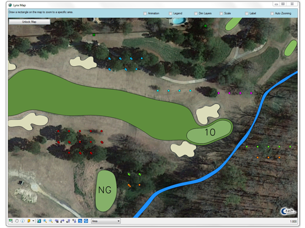
Final Lynx Map Product: Aerial + Heads in Grid (zoomed In)

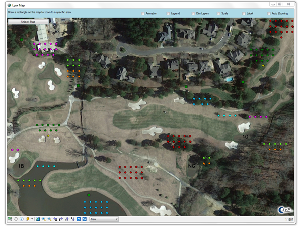
Final Lynx Map Product: Aerial + Heads in Grid (zoomed In more)
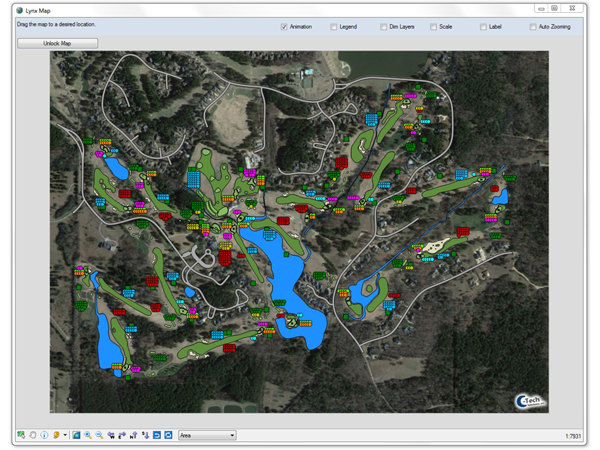
Final Lynx Map Product: Aerial + Digitized Base + Heads in Grid
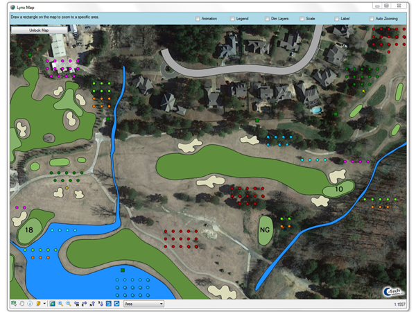
Final Lynx Map Product: Aerial + Digitized Base + Heads in Grid (zoomed In)
Final Lynx Map Product: Aerial + Digitized Base + Heads in Grid (zoomed In more)
Final Lynx Map Product: Digitized Base + Heads in Grid
Final Lynx Map Product: Digitized Base + Heads in Grid (zoomed In)
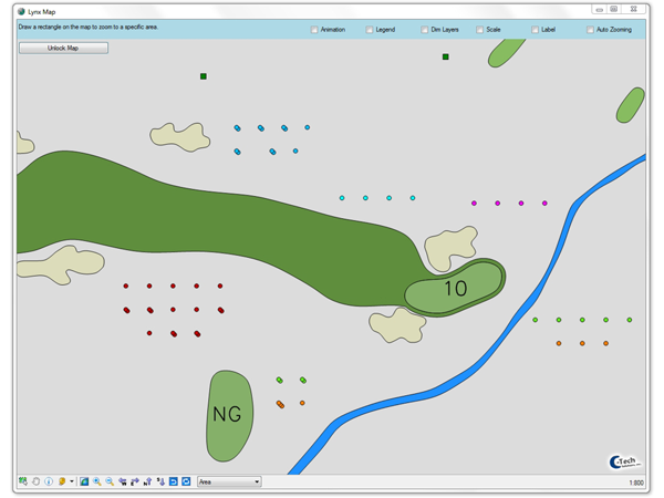
Final Lynx Map Product: Digitized Base + Heads in Grid (zoomed In more)
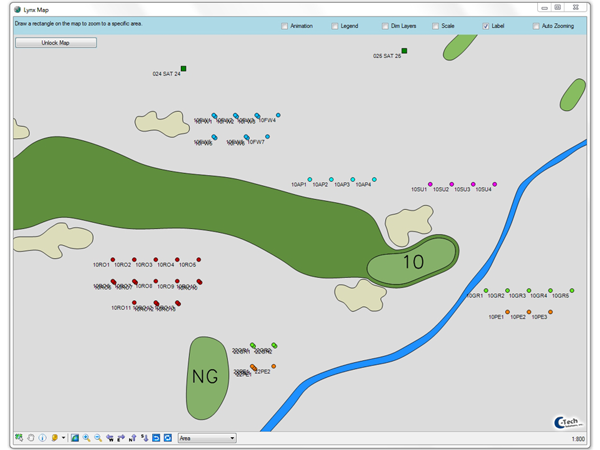
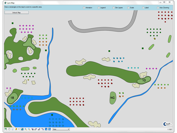
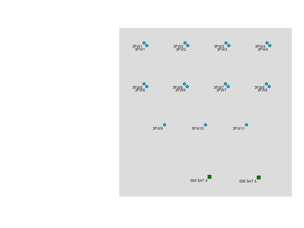
Final Lynx Map Product: Digitized Base + Heads in Grid – Labels On
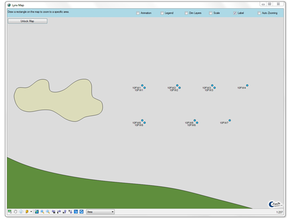
Final Lynx Map Product: Digitized Base + Heads in Grid – Labels On (zoomed In more)
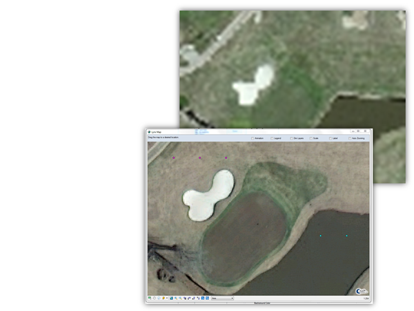
Lynx Heads Placed in Grids:
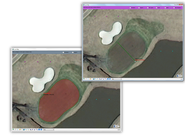
Heads are placed in a 30’ Grid, grouped together by Lynx Areas and placed in close proximity to the hole to which they are assigned in Lynx
When multiple heads are present on a given station, they are placed on a 45deg diagonal 5’ away from each other
Satellites are also placed near the heads they control.
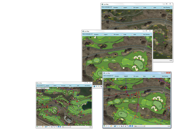
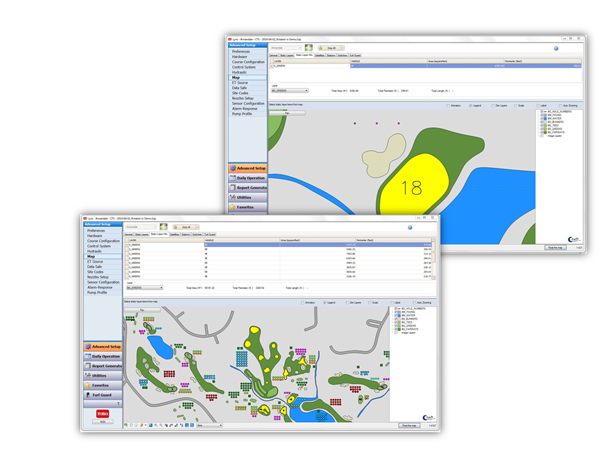
Operational Map in Days - Not Months
It is usable for manual operations, setting % adjust, viewing holds, stations running, etc. from Day 1!
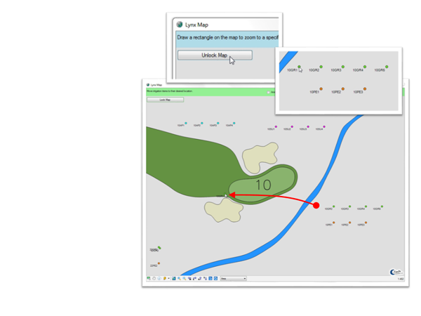
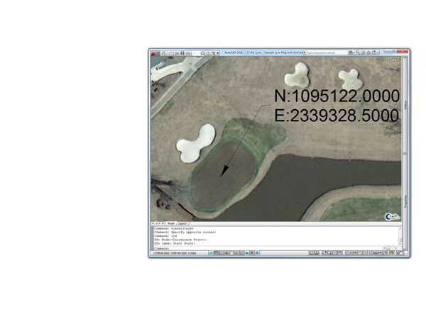
Easier for End Users to position Sprinklers
All they have to do is to zoom into an area of the hole, click the Unlock Map button, click on the head and drag it into position…
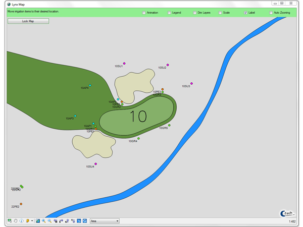
Repeat the process for the rest of the sprinklers in that area and then move to the next…
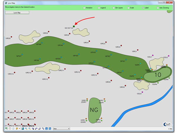
Then position the Satellite(s) and move to the next hole…
For someone very familiar with the system, this is a relatively quick process.
For those not so familiar, or for more complex systems when an asbuilt is not available, we can produce printable pdf booklets that can be used in the field to mark up sprinkler positions. This can assist with placing them in the Lynx Map.
This means when you zoom into a Bunker, Green, Tees, etc. the image does not become pixilated or blurry.
Also, avoids issues with copyright or TOS violations of various online map providers… See Warning at the end of the presentation
Items represented in the Image and/or any digitized features derived from the image are actually located at real world positions.
If any data collected via GPS or Survey is imported into the map, it will line up with the Aerial.
C-Tech offers special Discounts for Toro Distributors. Some have also gained additional revenue by performing some of the GPS collections themselves using C-Tech Equipment and/or our processing capabilities.

|
|
Real-N-Fast™ Maps |
|
|
< Hover Mouse over Image to pause Slide Show |
|

- C-Tech Survey Grade Collection
- DIY – Mapping Grade Collection
- Irrigation Central Map Integration

- Irrigation Design Services
- Golf Course Design
- Commercial Design
- Hydraulic Analysis
- Material Takeoffs
- Irrigation Consulting Services
- Specifications/Bid Documentation
- System Layout/Staking
- Construction Observation

- Aerial Data
- sUAS (Drone) Flights
- Acquisition via other sources
- Geo-Rectification
- Topography
- Irrigation Central Base Map Integration (Real-N-Fast™ Maps)
