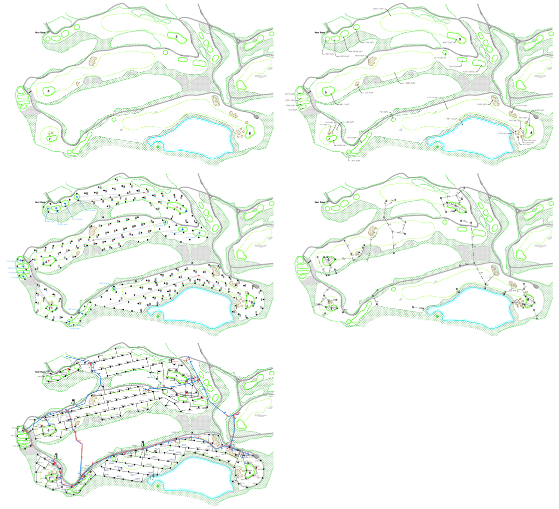
 C-Tech Solutions offers a wide variety of GPS/GIS services. We specialize in projects that involve golf course irrigation systems but we have also worked with public institutions, corporate facilities, private residences, and research facilities. Our mapping services are not limited to just the irrigation industry. We can accommodate almost any need that involves mapping features or assets of a property and provide that information back to a client in several digital formats or simply as paper drawings.
Use the links in the sidebar on the right to see sample of our GPS drawings …
C-Tech utilizes a Integrate Survey Solution to achieve high accuracy positions no matter what the conditions. The GPS Data is gathered by differential GPS measurement utilizing a dual frequency Trimble 5800 or R8 RTK roving receiver with 24 Channels L1 C/A Code and L1/L2 Full Cycle Carrier to ensure best possible accuracy (typically sub-centimeter). Roving receiver shall collect data at 1-second intervals only when it sees a minimum of 5 satellites and has a PDOP of less than 6. Employ differential correction real-time processing from a base station utilizing a dual frequency RTK receiver with 24 Channels L1 C/A Code and L1/L2 Full Cycle Carrier located onsite also collecting at 1-second intervals transmitting the correction signal real-time to the remote roving receiver. However, sometimes it is nearly impossible to achieve high accuracy positions with GPS alone due to obstructions such as heavy tree canopy or buildings. In cases like this it is essential to use more conventional survey equipment that is designed to work seamlessly with the GPS. One such piece of equipment is a robotics optical total station. With this type of unit, the obstructed positions can be determined by establishing known positions in open areas with integrated GPS. These positions, in turn can be used to establish a setup point and a bearing. With that information the unit will use a high accuracy laser to calculate the distance and bearing to the operator using a pole with a 360 degree prism mounted at the top. The unit can robotically track the operator continuously transmitting his position via a radio link between the units. As long as the operator has line of sight back to the unit, positions can be collected. These positions are not affected by the obstructed GPS signal and can maintain the high accuracy required. The optical Data is gathered by utilizing a Trimble S6/8 Robotics Optical Total Station. For the highest possible positioning accuracy, the S6/8 offers SurePoint? technology. SurePoint guards against the sinkage, vibration, and handling that can affect an instrument after setup. The S6/8 provides an angle reading accuracy of ?2mm with a distance measurement accuracy of +- 3mm at a distance of 500m C-Tech Solutions offers the option of “do it yourself” GPS collection. Anyone who is familiar with a Smart Phone, Tablet or a PDA will feel comfortable with this. We will ship a mapping grade GPS unit to your site and provide you with complete assistance during your use of the equipment. We have found that an initial 10 – 20 minute conversation is enough to get started. There are inevitably questions that will arise during the data collection and we will be available to help resolve those issues. |
